



midday moss
Bloedel Reserve does not permit commercial use of photographs taken on their grounds. We still want to share its beauty, and encourage you to check it out in person.
about this photo
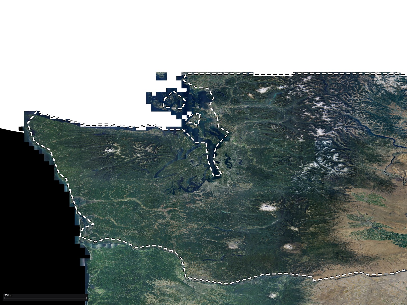
place
map
date / time
date / time
2020-12-12
time
11:17 AM
season cycle, Fall
season cycle
iNaturalist community observations
- Double-crested Cormorant341 obs
- Bufflehead315 obs
- Mallard286 obs
- American Crow268 obs
- Common Goldeneye257 obs
- Great Blue Heron256 obs
- American Wigeon248 obs
- American Robin243 obs
research-grade observations within 25 km during this calendar month. Counts are total verified iNaturalist observations
light / sun / UV
solar (GHI)
279 W/m² · overcast
solar DNI
708 W/m²
solar DHI
74 W/m²
clearness
0.85
weather / radar
weather
weather
Mainly clear
temperature
40°F
humidity
88%
cloud cover
49%
pressure
1024 hPa
wind
1 mph
SE 141°
cloud layers
rain
0"
dew point
37°F
radar
radar· ±1h · 10min
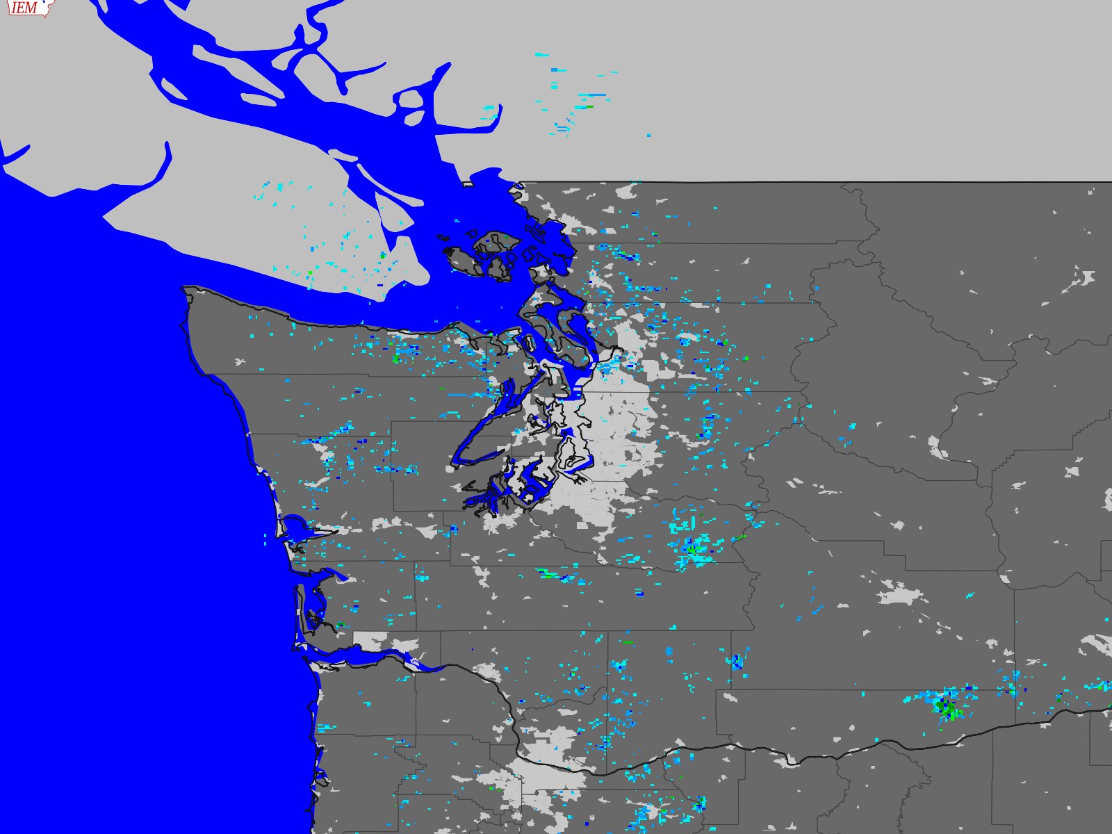
reflectivity (dBZ)
0–75
water
water
tide· 24h
rising – 8.4 ft
tide station
Edmonds, WA · 17 km
atmosphere / air quality
satellite
satellite· ±1h · 20min
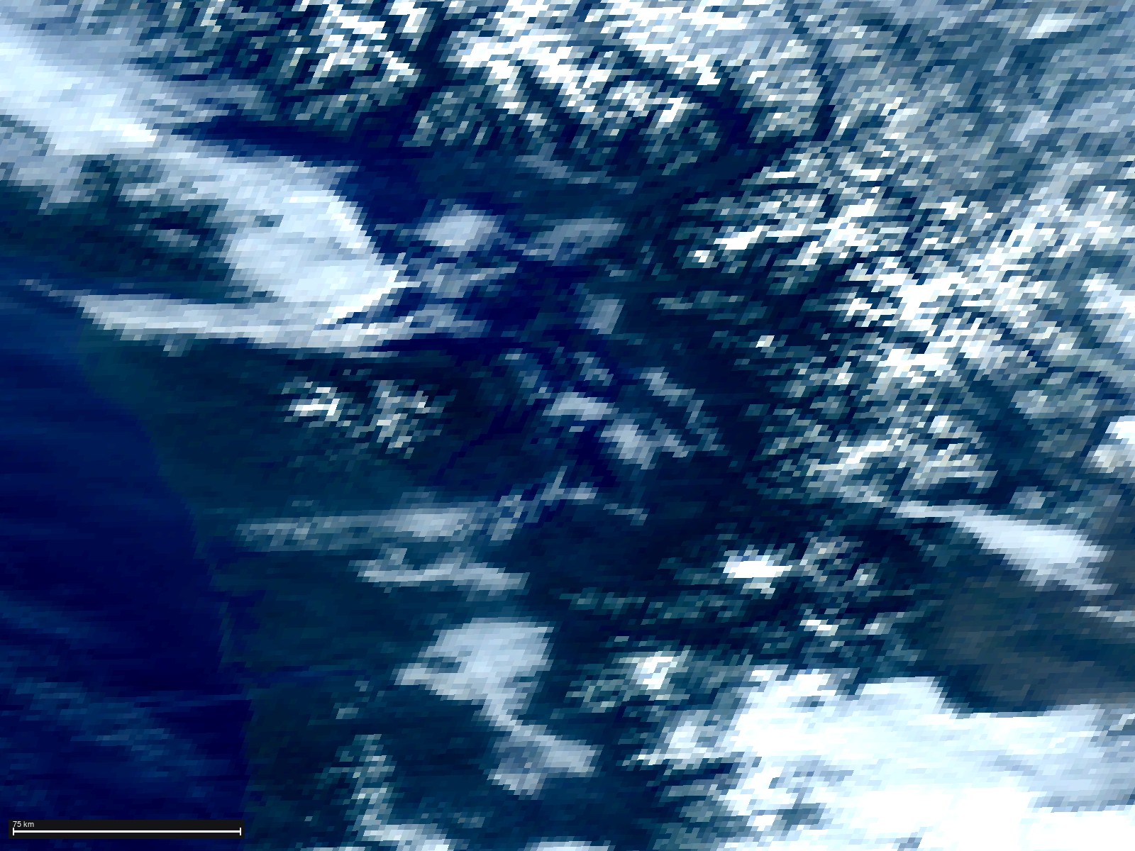
atmosphere
sky cover
BFI · overcast at 500 ft
BFI · overcast at 500 ft · 36°F · 27 km modeled 40°F / 1 mph; nearest station BFI (27 km) reported 36°F / 0 mphMETAR
KBFI 121911Z 00000KT 10SM OVC005 02/01 A3022 RMK AO2 T00220006
visibility
10.0 mi
METAR observed
11:11 AM
night sky
moon
lunar cycle: Waning Crescent - day 27 visible (23°)
daily moon cycle: moon setting
night sky
darkness
4 · brighter rural sky
light: dayseeing Good
milky way
Geometric positions at capture (not naked-eye visibility)
astronomical events
Geminids
9d before solstice
technical
sensor / film
color science
Apple
lens
iPhone 12 Pro Max back triple camera 7.5mm f/2.2
focal length
8mm (64mm equiv.)
exposure triangle: f/2.2 · 1/72s · 200
exposure triangle
color
histogram
attribution
© 2020 frank charlton
data attribution
- Weather data by Open-Meteo.com (CC BY 4.0)
- Tide data: NOAA CO-OPS
- METAR / NEXRAD: Iowa Environmental Mesonet, Iowa State University
- Basemap: USGS The National Map
- Solar: NASA POWER (CC BY 4.0)
- Satellite: GOES-West (NOAA/NESDIS); NaturalColor derived (CIMSS recipe)
- Weather interpolated from nearest METAR station (SEATTLE/BOEING FLD, 27 km)
- Tide predictions from NOAA CO-OPS station Edmonds, WA (17 km)
- Radar: NEXRAD ATX (54.4 km), scan time ±10 min
- Satellite: GOES-West (goes17), product time ±20 min
- Sun, moon, and planet positions computed for exact coordinates
- Basemap: USGS Imagery, center ±2.5°